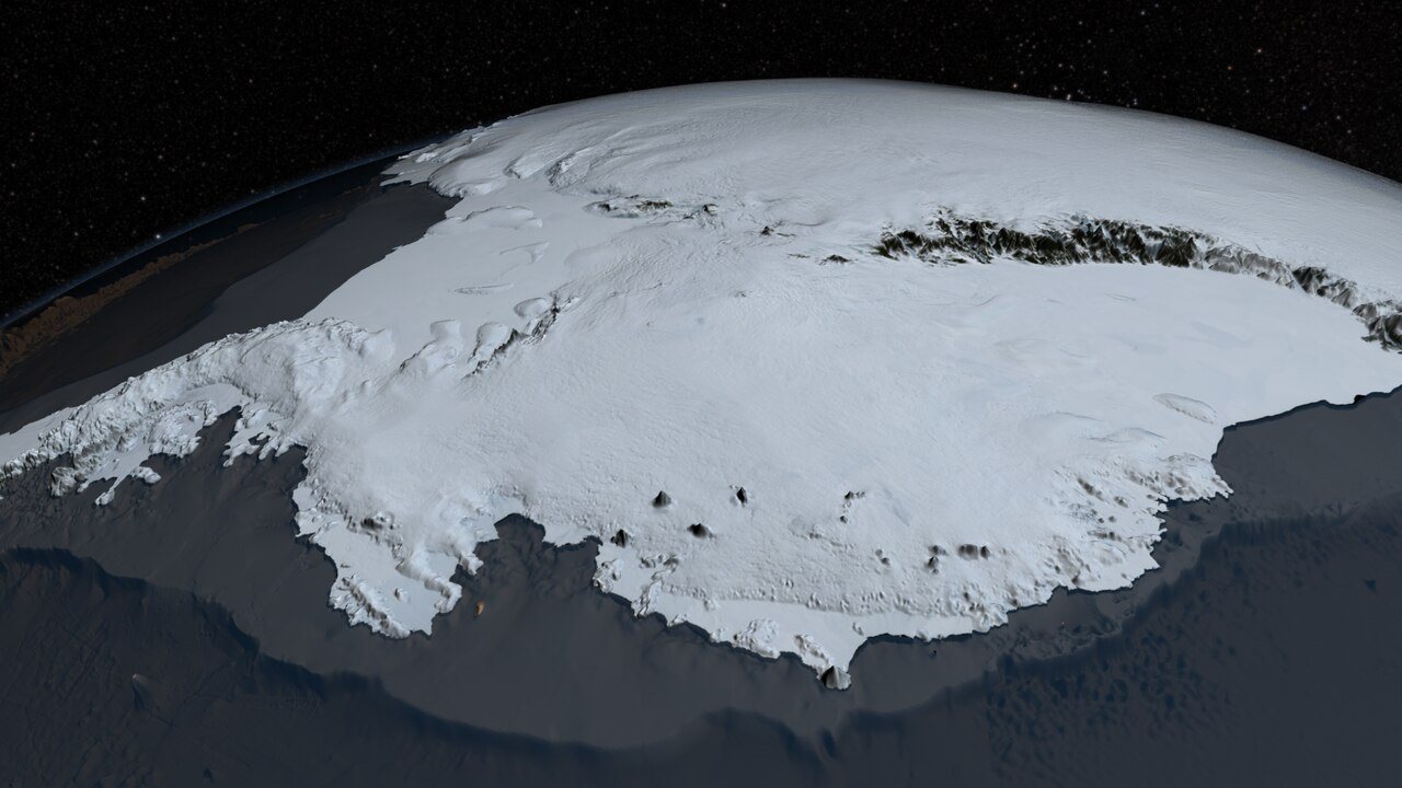
The European Space Agency has published a new orbital view of part of West Antarctica, captured by the Copernicus Sentinel-3 satellite on 30 September 2026. The image adds to a growing record of the continent compiled by Europe's Earth observation fleet, which monitors the polar regions from hundreds of kilometres above the surface.
West Antarctica is among the most closely watched regions on Earth. Its ice sheet holds enough frozen water to raise global sea levels substantially if it were to lose mass on a large scale, and scientists have long identified it as a key area of uncertainty in projections of future sea-level rise. Satellite imagery of the kind released by the agency helps researchers track the state of the ice surface and the surrounding ocean over time.
Sentinel-3 is one of the workhorses of the Copernicus programme, the European Union's Earth observation effort, which the European Space Agency operates in partnership with the EU. The mission is designed to measure ocean colour, sea and land surface temperature, and sea surface topography, and it also carries instruments for monitoring land cover and atmospheric conditions. Its wide viewing swath allows it to image large stretches of the planet in a single pass, making it well suited to the vast, sparsely instrumented expanses of the polar south.
Antarctica presents particular challenges for observation. Its remoteness, extreme cold and months of darkness during the austral winter limit the reach of ground-based and aircraft surveys. Satellites fill much of that gap, providing regular, repeatable measurements that can be compared across seasons and years. The 30 September timing places the image near the end of the Antarctic winter, when sea ice around the continent typically approaches its annual maximum extent.
The agency regularly publishes images of this kind as part of its Earth from Space series, which showcases views of the planet gathered by European spacecraft. Such releases serve both public and scientific purposes: they give general audiences a direct look at remote environments while also illustrating the capabilities of the instruments that researchers rely on for long-term environmental monitoring.
For scientists studying the polar regions, the value of these observations lies in continuity. A single image offers a snapshot, but a sustained record built from repeated passes allows researchers to distinguish short-term variability from longer-term trends in ice cover, surface temperature and ocean conditions. Europe's Earth observation satellites are designed with that continuity in mind, ensuring that measurements of the Antarctic system can be maintained across missions and decades.
The image of West Antarctica follows a long tradition of space-based polar observation, in which satellites have become the primary means of documenting change at the far ends of the Earth. As the climate system continues to evolve, the view from orbit is likely to remain central to understanding how the frozen south is responding.